 650m
650m


Note
 0m
0m
0m
1.8Km
1.9Km
2.6Km
2.6Km
5.1Km
5.1Km
5.1Km
0m
0m
0m
1.8Km
1.9Km
2.6Km
2.6Km
5.1Km
5.1Km
5.1Km
650m
1.2Km
 1.3Km
1.3Km
1.4Km
1.5Km
1.5Km
2.2Km
2.2Km
2.3Km
2.7Km
Beta
- Timing: 3h20’ up
- Best season: November through March
- Aspect of the descent: S
- Ascent length: 7.060m
The route goes along the Menouve valley, retracing the famous off-piste that was really popular with Swiss skiers in the past backwards, when they could reach the col via a lift and had an organised shuttle bus that would take them back. The lifts are now abandoned, but this route is still enticing: entirely S-facing, it is a sunny itinerary that divides into two parts. Lower in the valley, it is not too steep, but from the Menovy pasture onwards, its gradient ramps up, before entering the marvellous final amphitheatre before the frontier slope rocky stretch. From the col, you will admire marvellous views of the Entremont Valley underneath and, from the Italian side, unusual glimpses on Mont Vélan nearby.
The return is via your uptrack, freely.
Approach
- Timing: 3h20’ up
- Best season: November through March
- Aspect of the descent: S
- Ascent length: 7.060m
The route goes along the Menouve valley, retracing the famous off-piste that was really popular with Swiss skiers in the past backwards, when they could reach the col via a lift and had an organised shuttle bus that would take them back. The lifts are now abandoned, but this route is still enticing: entirely S-facing, it is a sunny itinerary that divides into two parts. Lower in the valley, it is not too steep, but from the Menovy pasture onwards, its gradient ramps up, before entering the marvellous final amphitheatre before the frontier slope rocky stretch. From the col, you will admire marvellous views of the Entremont Valley underneath and, from the Italian side, unusual glimpses on Mont Vélan nearby.
The return is via your uptrack, freely.
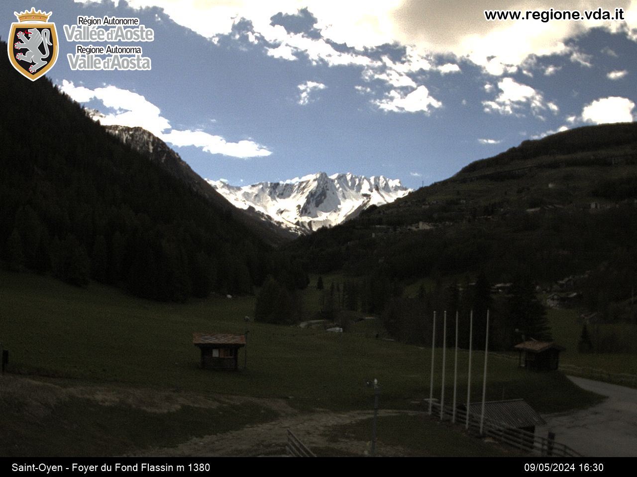
From the motorway exit Aosta Est, take the tunnel leading to the Grand Saint Bernard Valley, then follow it and go beyond the hamlets of Gignod and Etroubles. Just before Saint-Oyen, turn right and follow the sign for Prailles. Go along the municipal road for about 4 km and reach the small hamlet of Prailles dessous, that is the trailhead. Leave the car in the small car park of the hamlet.
Description
From Prailles dessous, take the forestry road departing from the last houses of the hamlet and climb up the Menouve Valley, keeping on its right bank. After 1,5 km, you will gain altitude after a couple of hairpin bends, before reaching the crossroads for Ponteilles dessous, which should be ignored. Keep going until you reach the Menovy pasture and the first hairpin bend. You will need near-perfect conditions for the next section, halfway up the hill, before merging onto the central part of the valley. Climb the steep slopes and reach the wide basin, leaving the Tsa Nouva pasture to the left (2.368m), sometimes buried under the snow. The col can be seen in the distance, and you will need to overcome the final section of its S face. Proceed towards the centre of the valley and then keep right of the small rocks that separate the Tête Rouge from the two Menouve cols. The route becomes steeper in the last part, and you can reach the Col de Menouve N easily (2768m); once you have crossed the border, you can see the abandoned lifts.
Descent:
The return is freely, via your skin track, along plaisir, smooth slopes as far as Arvus; the final stretch shallows out.
Nearby Map
Routes
January 19, 2011 AO, Etroubles D+ 1443 m BS S
Annibal (Col d’)
 0m
0m
December 20, 2025 AO, Etroubles D+ 1210 m BS S
Menouve (Col de) North
 0m
0m
February 13, 2026 AO, Etroubles D+ 914 m MS S
Paglietta (Monte)
 0m
0m
January 26, 2026 AO, Etroubles D+ 680 m MS S
Choume (Tête de)
 1.8Km
1.8Km
January 22, 2026 AO, Etroubles D+ 1030 m BS S
Barasson (Tête de)
 1.9Km
1.9Km
February 3, 2024 AO, Etroubles D+ 1470 m BS E
Tardiva (Col de) and Mont de la Tsa
 2.6Km
2.6Km
February 2, 2026 AO, Etroubles D+ 1382 m BS S
Labiez (Mont)
 2.6Km
2.6Km
January 13, 2026 AO, Saint-Oyen D+ 1295 m MS N
Cordellaz (Tête)
 5.1Km
5.1Km
March 24, 2026 AO, Saint-Oyen D+ 1450 m BS N
Vertosan (Mont)
 5.1Km
5.1Km
March 24, 2026 AO, Saint-Rhemy-En-Bosses D+ 1850 m OSA, F N
Fallère (Mont) by Colle d’Ars
 5.1Km
5.1Km
Services
650m
 1.2Km
1.2Km
Maison Julie B&B
Etroubles
1.3Km
Guido Letey – Noleggio con Conducente Facilities
Etrobles 1.4Km
1.4Km
Le Vieux Bourg Restaurant
Etroubles 1.5Km
1.5Km
Chez Lugon – Bar e Tennis Restaurant
Étroubles 1.5Km
1.5Km
Camping Tunnel International Camping
Etroubles 2.2Km
2.2Km
Echevennoz Posto Tappa Mountain hutte
Etroubles 2.2Km
2.2Km
Trattoria Marietty Restaurant
Echevennoz 2.3Km
2.3Km
L’Abri B&B
Etroubles 2.7Km
2.7Km