 650m
650m


Note
 0m
0m
0m
1.8Km
1.9Km
2.6Km
2.6Km
5.1Km
5.1Km
5.1Km
0m
0m
0m
1.8Km
1.9Km
2.6Km
2.6Km
5.1Km
5.1Km
5.1Km
650m
1.2Km
 1.3Km
1.3Km
1.4Km
1.5Km
1.5Km
2.2Km
2.2Km
2.3Km
2.7Km
Beta
- Timing: 4h00’ ascent
- Best season: November through April
- Aspect of the descent: S
- Ascent length: 8.080m
Discovering the Moline Valley
This route will take you along the fascinating Moline Valley, arriving at the Col Annibal, a frontier post with Switzerland. The S-facing route grants constant sun. The ascent is made up by two parts: the first one, not too steep, lies in the lower section of the valley while from the Arvus pasture onwards, you will need to overcome the glacial step that separates it from the Menouve Valley underneath. Not too popular, this route is blessed with a wide-ranging, solitary milieu. From the col, staggering views opens up onto the Swiss Pennine Alps and the nearby Mont Velan: the long NE arête, called Annibal arête, begins from the col.
The descent is made freely via your skin track.
Approach
- Timing: 4h00’ ascent
- Best season: November through April
- Aspect of the descent: S
- Ascent length: 8.080m
Discovering the Moline Valley
This route will take you along the fascinating Moline Valley, arriving at the Col Annibal, a frontier post with Switzerland. The S-facing route grants constant sun. The ascent is made up by two parts: the first one, not too steep, lies in the lower section of the valley while from the Arvus pasture onwards, you will need to overcome the glacial step that separates it from the Menouve Valley underneath. Not too popular, this route is blessed with a wide-ranging, solitary milieu. From the col, staggering views opens up onto the Swiss Pennine Alps and the nearby Mont Velan: the long NE arête, called Annibal arête, begins from the col.
The descent is made freely via your skin track.
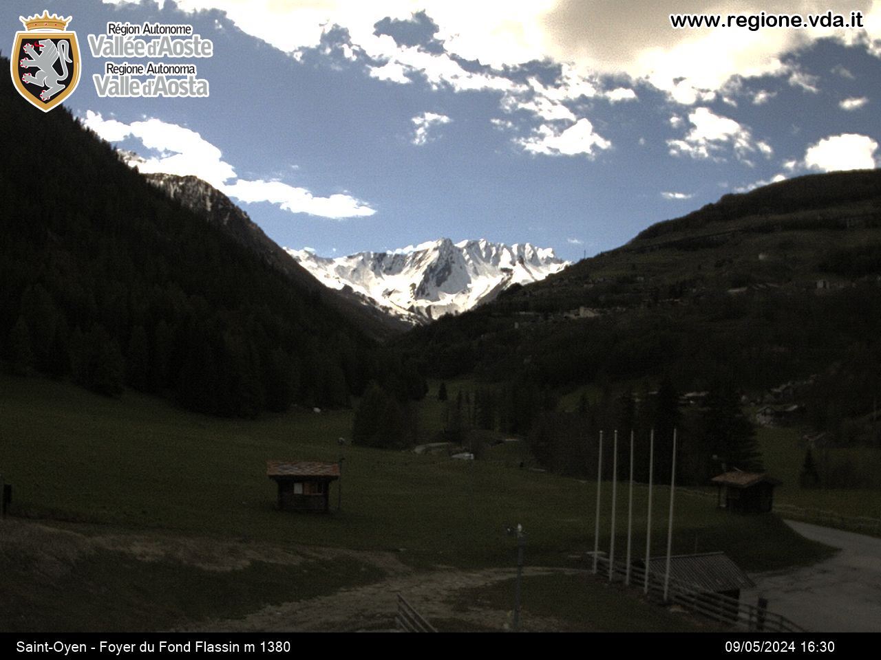
From the motorway exit Aosta Est, take the tunnel leading to the Grand Saint Bernard Valley, then follow it and go beyond the hamlets of Gignod and Etroubles.
Just before Saint-Oyen, turn right and follow the sign for Prailles. Follow the municipal road for about 4 km and reach the small hamlet of Prailles dessous, that is the trailhead. Leave the car in the small car park of the hamlet.
Description
Just before Saint-Oyen, turn right and follow the sign for Prailles. Follow the municipal road for about 4 km and reach the small hamlet of Prailles dessous, that is the trailhead. Leave the car in the small car park of the hamlet.
From Prailles dessous, take the forestry road departing from the last houses of the hamlet and climb up the Menouve Valley, keeping on its right bank. After 1,5 km, you will gain altitude after a couple of hairpin bends, before reaching the crossroads for Ponteilles dessous, which should be ignored. Keep going until you reach the Menovy pasture and, shortly afterwards, take the path for Arvus, keeping right at the crossroads. You will finally reach the end of the lower part of the valley, then veer right and reach the Arvus pasture (1.985m).
From the pasture onwards, it’s steep slopes galore: climb up the step created by glaciers for about 300 metres of vertical gain, before reaching the distinctive morainic ridge, indicating the entrance to the Molline Valley. Keep left of the morainic hillock and reach the Molline Bivouac (2.425m). The valley is now larger and the frontier ridge with Switzerland is at its far end. Continue in the central part of the valley until you reach the front of the frontier ridge. Climb up the last 300m along a steep terrain, aiming at the Tête Grise first, then veer right towards the Col Annibal (2.992m).
Descent
The return is freely, via your skin track, along plaisir, smooth slopes as far as Arvus; the final stretch shallows out.
Nearby Map
Routes
January 19, 2011 AO, Etroubles D+ 1443 m BS S
Annibal (Col d’)
 0m
0m
December 20, 2025 AO, Etroubles D+ 1210 m BS S
Menouve (Col de) North
 0m
0m
February 13, 2026 AO, Etroubles D+ 914 m MS S
Paglietta (Monte)
 0m
0m
January 26, 2026 AO, Etroubles D+ 680 m MS S
Choume (Tête de)
 1.8Km
1.8Km
January 22, 2026 AO, Etroubles D+ 1030 m BS S
Barasson (Tête de)
 1.9Km
1.9Km
February 3, 2024 AO, Etroubles D+ 1470 m BS E
Tardiva (Col de) and Mont de la Tsa
 2.6Km
2.6Km
February 2, 2026 AO, Etroubles D+ 1382 m BS S
Labiez (Mont)
 2.6Km
2.6Km
January 13, 2026 AO, Saint-Oyen D+ 1295 m MS N
Cordellaz (Tête)
 5.1Km
5.1Km
March 24, 2026 AO, Saint-Oyen D+ 1450 m BS N
Vertosan (Mont)
 5.1Km
5.1Km
March 24, 2026 AO, Saint-Rhemy-En-Bosses D+ 1850 m OSA, F N
Fallère (Mont) by Colle d’Ars
 5.1Km
5.1Km
Services
650m
 1.2Km
1.2Km
Maison Julie B&B
Etroubles
1.3Km
Guido Letey – Noleggio con Conducente Facilities
Etrobles 1.4Km
1.4Km
Le Vieux Bourg Restaurant
Etroubles 1.5Km
1.5Km
Chez Lugon – Bar e Tennis Restaurant
Étroubles 1.5Km
1.5Km
Camping Tunnel International Camping
Etroubles 2.2Km
2.2Km
Echevennoz Posto Tappa Mountain hutte
Etroubles 2.2Km
2.2Km
Trattoria Marietty Restaurant
Echevennoz 2.3Km
2.3Km
L’Abri B&B
Etroubles 2.7Km
2.7Km